

Important Tidal Heights
The booklet contains guidance on how to calculate the height of tide at any point on the tidal cycle. The following heights are locally important:
| 4.9m | Mill Point dinghy park floods |
| 4.6m | Mean high water (springs) |
| 4.3m | DHNA village pontoon not accessible with dry feet from village slipway |
| 4.2m | Bibby footpath leading up from The Cove inaccessible from Mill Point along the foreshore |
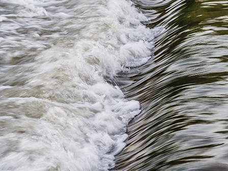
| 3.9m | Mill Pond weir floods |
| 3.6m | Mean high water (neaps). Foreshore path to Mill Point floods from village slipway |
| 3.0m | The Drascombe Lugger and Devon Yawl float on the swinging moorings off the clubhouse |
| 2.7m | Mean sea level (half tide) - DHNA low tide pontoon at Mill Point not accessible from the foreshore if tide above this level |
| 2.5m | Club safety boats should not enter or leave the creek when the tide is less than 2.5m |
| 1.6m | End of SGBA creek slipway accessible from channel |
| 1.2m | DHNA village pontoon accessible by kayak/canoe from the creek |
| 0.8m | Stoke Gabriel Creek channel starts to flood |
Last updated 09:56 on 15 May 2025